
FAQs
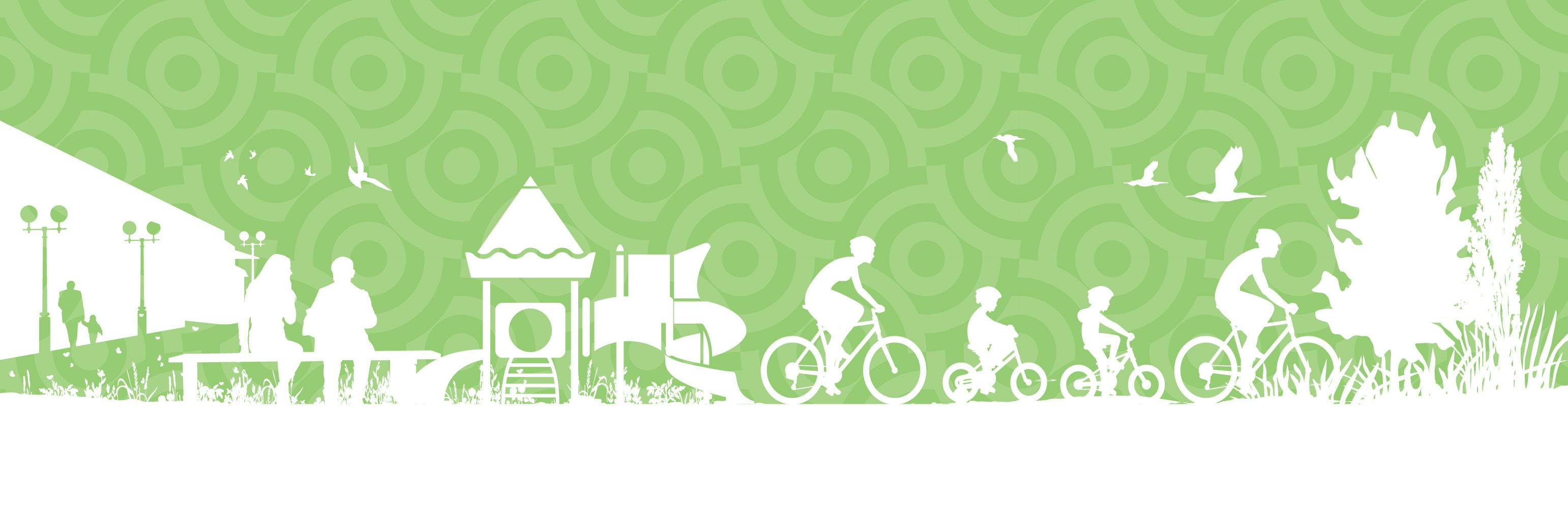
- New opportunities for outdoor recreation and non-motorized transportation.
- Unique facilities to serve a diverse population that may otherwise have limited opportunities to access natural areas due to financial or transportation constraints.
- Affordable exercise and recreational opportunities within the community.
How will this project benefit the community?
Constructing this section of the High Line Canal Trail will close one of the remaining gaps in the 71-mile regional trail network.
One of the most direct benefits of the High Line Canal Trail is the close to home, accessible recreation opportunities it will provide.
In general, trails provide:
How will trail construction be funded?
The city has been granted federal funds through the Denver Regional Council of Governments to help pay for the trail construction with city capital improvement funding used as a match amount. Additional funding partners consist of the Conservation Trust Fund, Adams County Open Space Grant, and the Adams County Open Space Tax Shareback.
A portion of the trail is next to Tower Road. Why was this trail alignment selected?
Approximately 1/3-mile of the proposed trail runs next to Tower Road. Near Smith Road and 28th Avenue, the trail is adjacent to Tower Road to utilize the existing Union Pacific Railroad at-grade track crossing. Other trail alignments were considered but would require a new at-grade rail crossing, unsignalized mid-block road crossings at 28th Avenue and at Tower Road, and additional right-of-way. These other alignments were eliminated from further consideration due to budget and schedule constraints.
The portions of the proposed trail adjacent to Tower Road are an improvement over the existing sidewalks, which are only three or four feet wide in some areas.
At I-70, the trail alignment was selected to avoid impacts to the canal, to avoid existing I-70 bridges over the canal, and to maintain a crossing perpendicular to I-70. An overpass was selected instead of an underpass to minimize impacts to historic features that would have added a significant amount of time to the project.
What signs will be used to guide trail users?
A combination of regulatory, warning and guide signs will be used for the project. Signs will follow local and federal standards.
There are several existing High Line Canal Trail signs along that trail alignment that the City may preserve.
The project will also add two interpretive signs along the trail which will provide additional historic information about the High Line Canal Trail.
What’s the historical significance of the High Line Canal and how has that been accounted for in the project’s design?
The High Line Canal is a 71-mile historic irrigation channel originally constructed in 1883. The Canal runs southwest to northeast from Waterton Canyon in Douglas County to Green Valley Ranch in northeast Denver. Over 60 miles of the Canal are accompanied by the High Line Canal Trail, a recreational amenity used for hiking, biking, jogging, and horseback riding. The Aurora Parks, Recreation, and Open Space (PROS) department is one of seven agencies with a recreational agreement, maintaining almost 14 miles of the trail.
Historic resources within the project area include the High Line Canal and the Union Pacific/Kansas Pacific Railroad. Regarding the High Line Canal, design measures have been implemented to reduce impacts to this resource. Design measures include utilizing the ditch rider road for the proposed trail alignment and choosing a design alternative that carries the proposed High Line Canal Trail over I-70 instead of under I-70, which would have modified the High Line Canal culvert. The project will also add two interpretive signs along the trail which will provide additional historic information about the High Line Canal Trail.
The trail connection requires several road crossings. What measures are being taken to enhance safety?
The project requires five at-grade road crossings. Four of the five road crossings occur at signalized intersections. Improvements at each signalized intersection include new curb ramps that meet ADA requirements for improved pedestrian accessibility, pedestrian push buttons, and new pavement markings and signage.
Since Tower Road and Colfax Avenue are classified as major arterial roadways, traffic calming measures such as speed cushions and raised sidewalks are not proposed due to their impact on roadway capacity and emergency response time.
The remaining road crossing occurs mid-block at 22nd Avenue and will not be signalized. Improvements at this location include new curb ramps, pavement markings and signage to improve safety. On-street parking will be prohibited on either side of the crosswalk in order to improve the visibility and safety of trail users at the crossing.