
FAQs
What are the boundaries of the study area?
The study area is located along Havana Street and bounded by Montview Boulevard on the north, Dartmouth Avenue on the south, Dayton Street on the west (generally) and Moline Street on the east. The primary focus will be on the immediate corridor and associated intersections.
What is the purpose of this study?
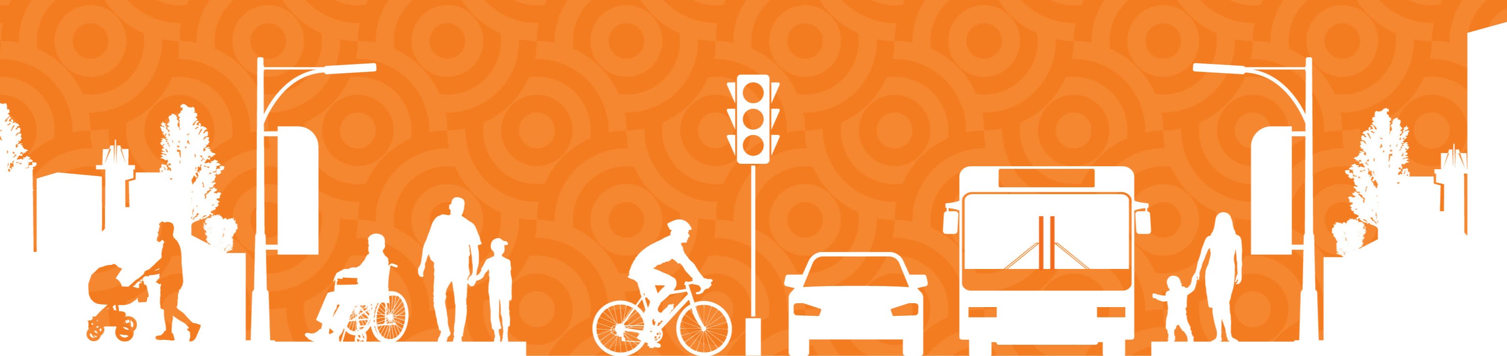
The city is launching the Havana Street Corridor Study in response to a renewed emphasis and heightened awareness of safety and mobility for all users along busy corridors, including planning for cars, pedestrians, bicycles and buses. The study is an opportunity to create a vision and plan that recognizes the diverse needs of Aurora's residents, business owners, visitors and traveling public.
What will be the outcome of the study?
The study will result in a final corridor vision, goals, corridor brand enhancements, land use framework and recommended transportation improvements, and the final report will include phasing, conceptual design, cost estimates and funding strategies for transportation improvements and corridor branding.
Why should you get involved?
The city is asking anyone who is impacted by the corridor to get involved because we need to hear all voices as we work to achieve a corridor vision that is pedestrian and bicycle friendly (but also efficient for other modes of travel), safe for all travelers, a diverse cultural hub, represents and promotes the needs of existing and future economic development and the community, maintains distinct characteristics of corridor subareas, and activated by arts and entertainment elements.
Who is involved in the project?
Key stakeholders will be involved in the project, including the Colorado Department of Transportation, the Regional Transportation District, the Denver Regional Council of Governments, the city and county of Denver, the Havana Business Improvement District and nearby neighborhood organizations.